What are the Peak District Ethels?
Bleaklow Head
A few years ago, I wrote a blog post that started with the rather bold statement “I’m not a summit bagger”. Instead, I shared why I love going to the mountains and how they make me feel. The scale of everything, along with the sense of spaciousness and quiet I feel, puts life into perspective and I always come home calmer.
All of that’s still true but, hand on heart, I can’t really claim not to be a summit bagger any more! I now have a list of Lake District Wainwrights still left to tick (many) and I’ve been working my way through the Peak District Ethels.
What are the Peak District Ethels?
The Ethels consist of 95 Peak District hilltops over 400m above sea level, plus some significant lower prominent hills. They were mapped and released on a smartphone app in 2021 by the CPRE for Peak District and South Yorkshire.
But why are they called Ethels?
They’re named after the charity’s founder, Ethel Haythornthwaite who created the CPRE in 1924. She was a leading environmentalist who helped to protect wild areas in the Peak District from development by organising their purchase for public access.
She also played a huge part in creating the Peak District National Park (which was Britain’s first national park). So, without Ethel Haythornthwaite, we may not have the Peak District National Park.
Where are the Peak District Ethels located?
The Ethels cover the whole of the Peak District National Park, including the six county tops of Cheshire, Derbyshire, Staffordshire, South Yorkshire, West Yorkshire, and Greater Manchester.
They include:
The Sixers - 4 hills with summits over 600m
The Fivers - 27 hills with summits at 500m or more
The Sub-Fivers - 37 hills with summits at 400m or more and 27 prominent hills with character lower than 400m
So, there’s something for everyone. Whether you want a wild and desolate high moorland walk in the Dark Peak. Or a gentle, rolling, farmland walk in the White Peak.

How does the Ethel Ready app work?
The app displays the Ethels in both an alphabetical list and an via an interactive map.
The alphabetical list shows:
Height
Grid reference
Whether it’s a trig point
Tick box with date to record completion
Also, by clicking on an individual Ethel, you can access additional information about the location.
This includes whether there is access to the actual summit. Some are located on private land so you either need the landowner’s permission or, use a close enough approach to ticking them off.
The map view shows:
By using the map view, you can see which Ethel’s are near to your current location. Or alternatively, which are close to each other to tick in one walk.
We’ve also used the map view when close to a summit top without a trig point to help us locate the right place.
The map view also makes it easy to see which Ethel’s are still left for you to tick. So, if you’re going for all 95, it’s a great way to plan your next one.
What’s the best way to walk the Peak District Ethels?
There are tons of ways to walk the Ethels:
Join them all up for a long challenge in one go.
Make it a life long endeavour by ticking a few each year.
Do one at a time.
Tick three or four together on a longer walk.
And so many other permutations in between!
We decided to tackle the Ethels by geographical location.
Because we live on the northern boundary of the Peak District National Park, we’ve been working our way south.
It means we’ve had some remote moorland walking through the winter months. But, it’s been a great way to have a focus while increasing the miles in our legs in preparation for walking the West Highland Way.
We’ve now done 41% of the Ethels, but the remaining 56 hills may stay on the list for a while as we begin doing other things through the summer.
Route ideas for the Peak District Ethels
If you’re looking for inspiration and route maps, the best bet is to do a Google search. You’ll find some great blogs - here are three to get you started:
The Wandering Wildflower - we’ve occasionally used routes from here when we’re rushing to get out and want someone else to do the planning for us.
The Walking Englishman - we’ve not used any of these routes, but I’ve heard about this website over the years.
UK Hillwalking - this lists all the Ethels and you’ll find some with route cards. We’ve not used any but it’s a very well known website.

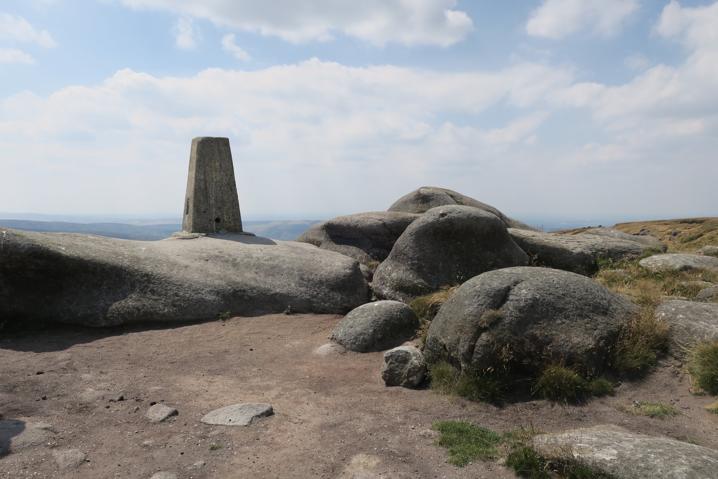
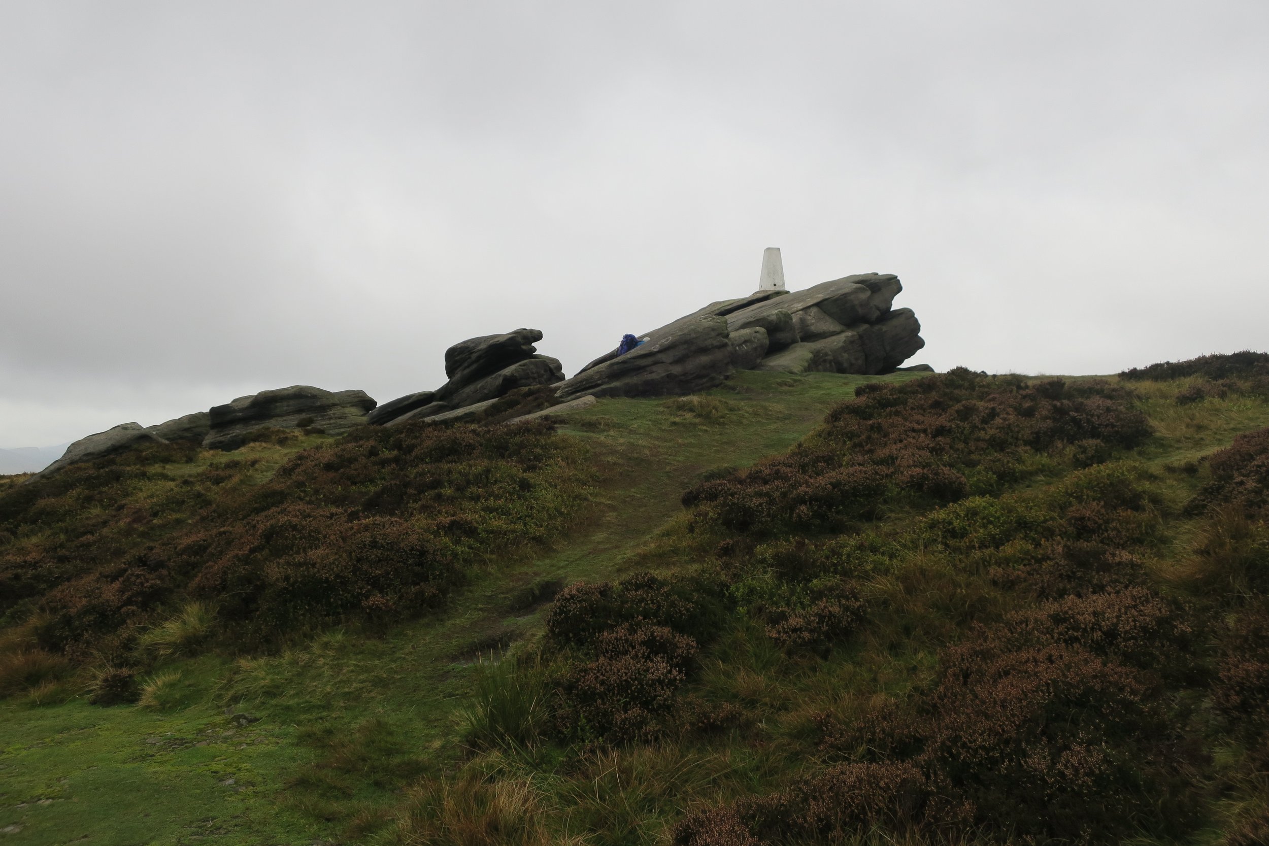
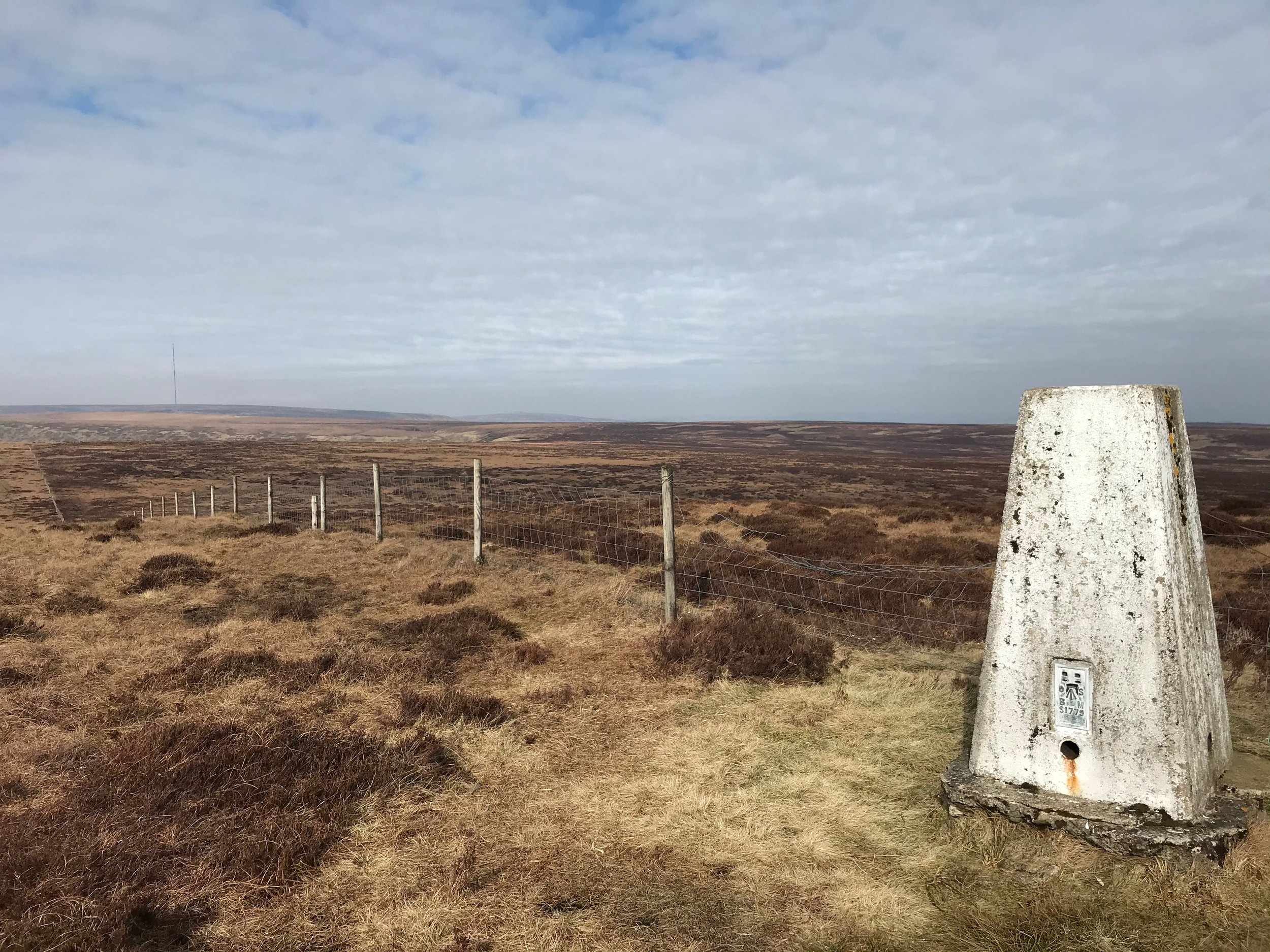
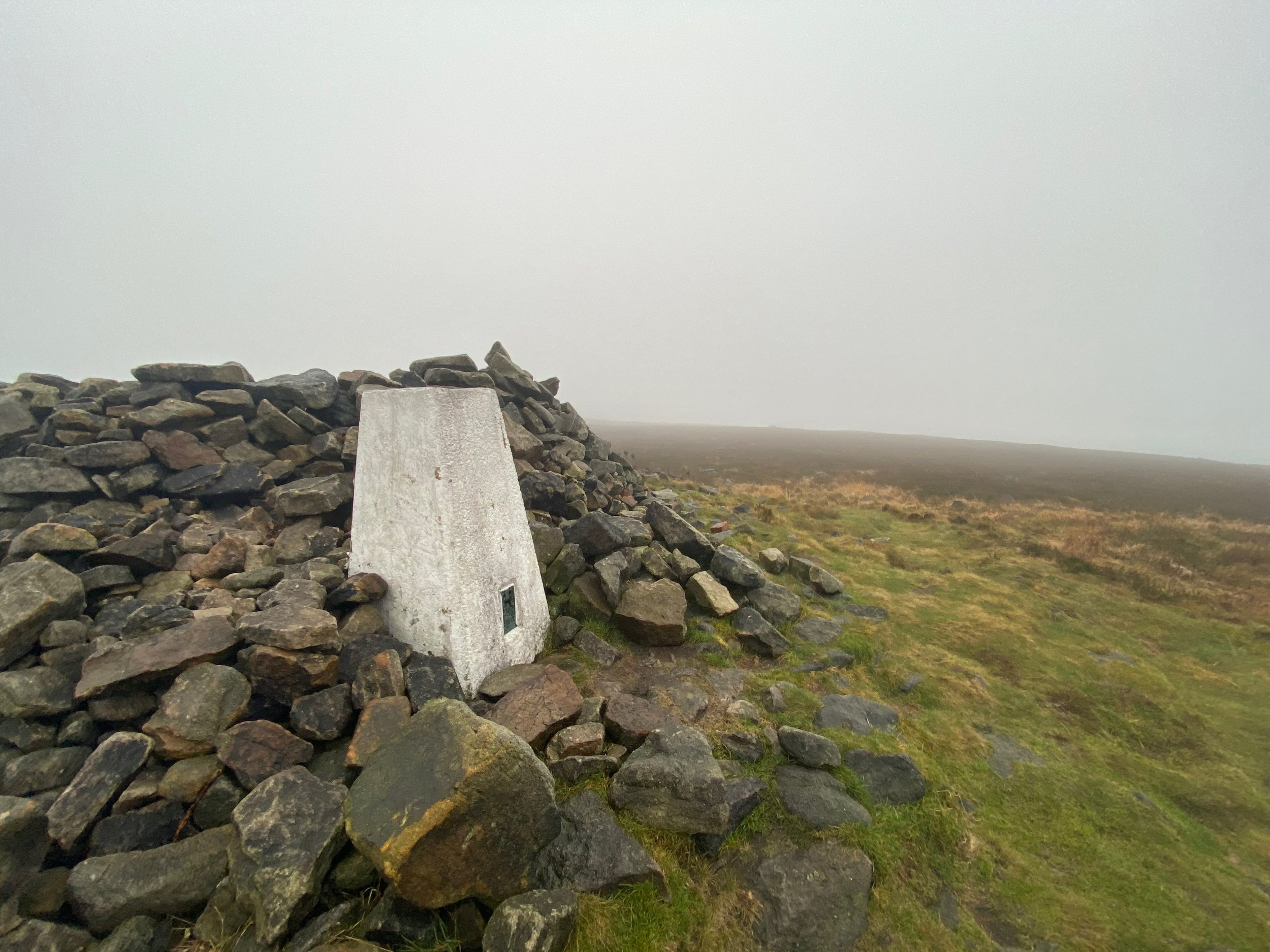
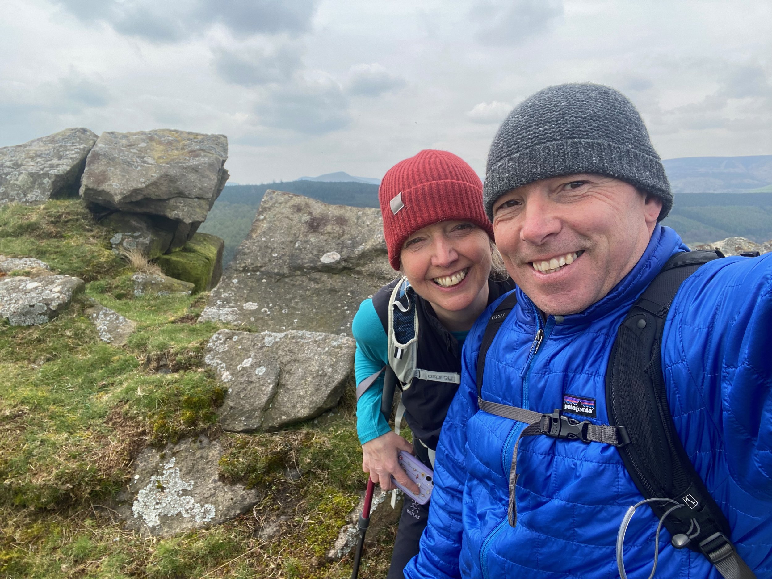
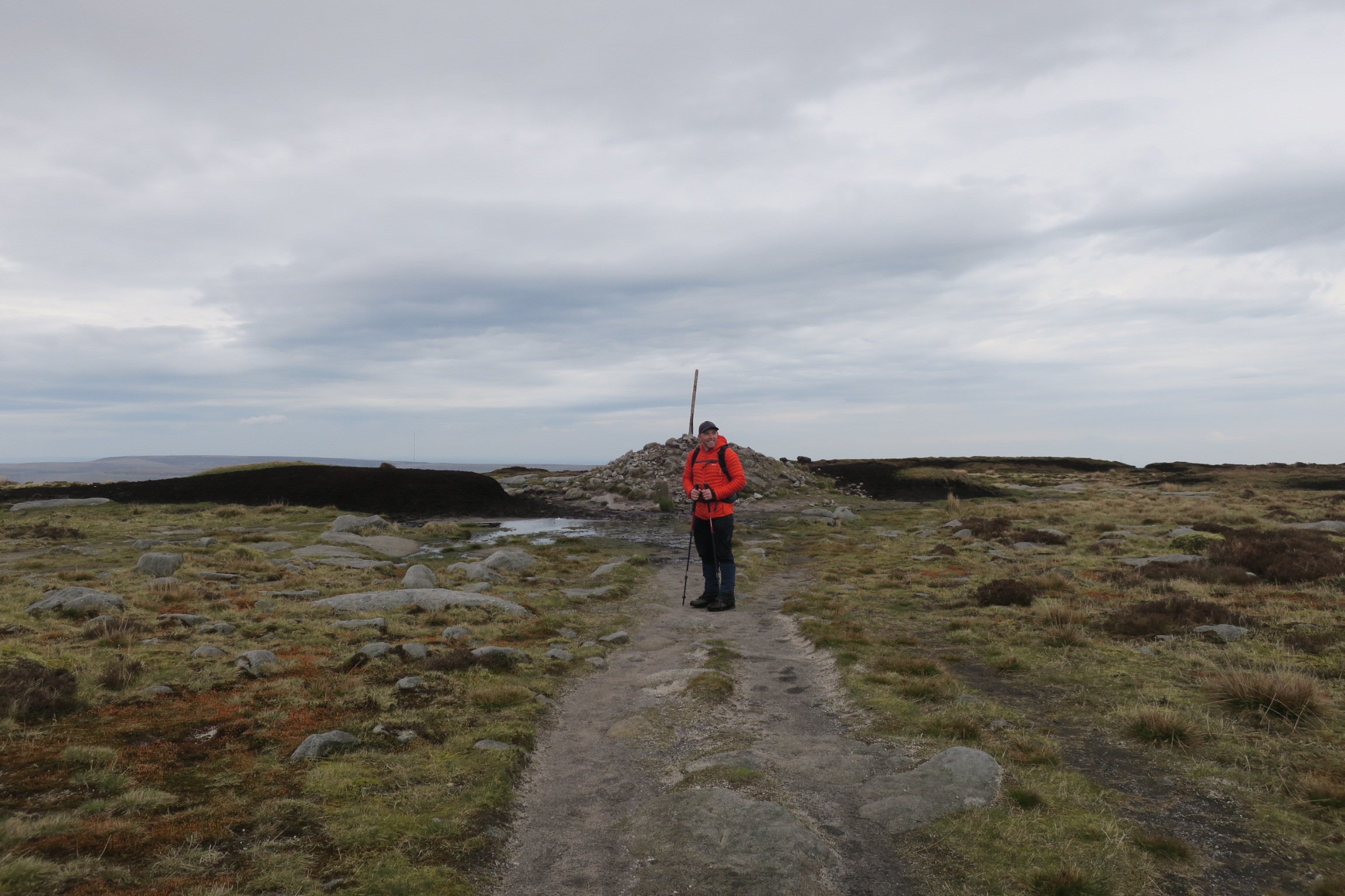
👆 just a few pics of our Ethel summits
You may also be interested in reading:
Walk: Wessenden and West Nab (8.5 mile walk via Deer Hill Reservoir and Meltham)
Walk: Wessenden and Black Hill on the old and new Pennine Way routes
ENJOYED THIS POST? HERE’S HOW YOU CAN SUPPORT MORE CONTENT…
I’m an outdoor enthusiast, just like you, looking to read about fun and inspiring adventures. I write from my personal experience and ideally want to keep this website ad-free (who likes annoying pop-up ads getting in the way). But web hosting and creating new content costs money, and means a fair bit of unpaid work.
If you’ve been inspired, grabbed a GPX download, or found something helpful, you can support by buying me a cuppa via my Ko-Fi account. Thank you if you can 🫶
Get new adventures sent directly to your inbox. Emails usually go out every other week.
SIGN UP TO MY NEWSLETTER
Outdoor-Girl is run by Jacquie Budd, an outdoor adventure writer and marketing content writer for brands that care about their impact on people and the planet.