The view we never saw: walking in Brotherswater
-
If you click a link with an * and buy from a company’s website, I may receive a small payment. This helps fund the Outdoor Girl site and keeps it free to use with no annoying pop up adverts.
But there are a couple of crucial things you need to know about this:
It never impacts my content or recommendations – if I include something, I genuinely think will be helpful
There is no extra cost to you when buying via one of these links
For a more detailed explanation, see my policy on affiliate links, including Amazon Associate links.
For transparency, you can also find duplicate links below that don’t help fund the Outdoor Girl website.
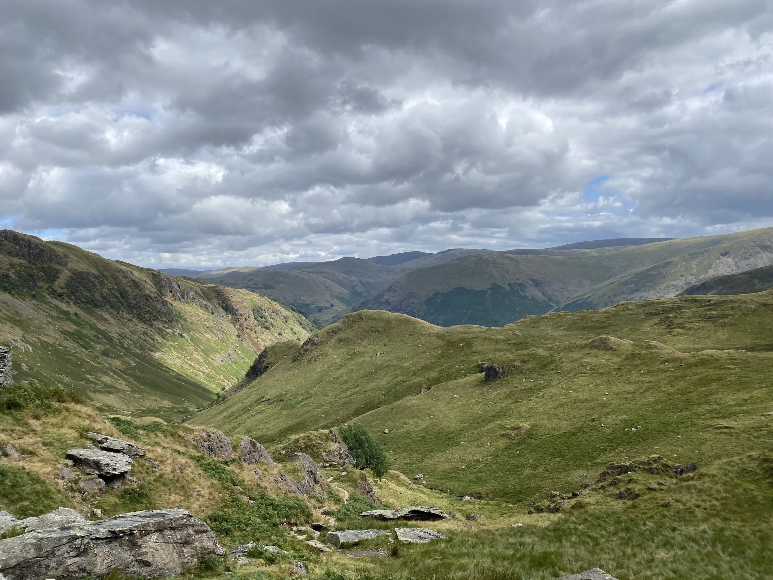
View towards Brotherswater from near Dove Crag’s Priest’s Hole cave
I remember walks I’ve done over the years for all kinds of reasons. Some, like the Kentmere Horseshoe, are because of the incredible views. Others, like the circular walk we did from Holme, are because of the vile weather. And then, there are the walks where something went spectacularly wrong!
Twenty-two years ago, I set out with a group of friends to do a walk in the Lake District. We didn’t finish it - not the planned walk anyway. Instead, we ended up in the wrong valley, off the map, with darkness falling and a few in the group without head torches.
Twenty-two years later, on a bright, sunny day, two of us stood at the start of the same walk.
Twenty-two years earlier
Back in the day, before responsibilities and kids snuck up on everyone, a big group of us would book an annual pre-Christmas camping trip to Brotherswater in the Lake District.
The idea was two-fold. Escape from the crazy Christmas rush to breathe in the mountain air, and catch up with each other for a kind of Christmas party of our own. We’d head into the hills for a big walk, before returning for the important business of the weekend: a cosy pub with an open fire, mulled wine, and Christmas dinner.
That year, our walk was circular, starting and finishing from the campsite itself. We planned to climb up a ridge, stay at around 800m for a while, then come back down a different valley. And, although it was a miserable, overcast start to the day, we were seasoned walkers, used to poor conditions.
Navigating with zero visibility
As we climbed higher, the fog thickened and visibility was poor. Being a slow walker and not a very confident map reader, I tagged along at the back, leaving the navigation to one of the guys up front.
Everything was fine until we all concertinaed together at a path junction, with a few heads being scratched over the map. To cut a very long story short, it was unclear exactly where we were - and this was before the days of GPS mapping on our mobile phones.
A decision was made to walk down a very steep slope without a path, the thinking being that it was the one taking us back to the campsite. Despite the years, I can still remember thinking how wrong it felt, but I followed along as a passive non-navigator.
Eventually, we dropped underneath the fog line and could see a valley stretching out in front. There were enough features for the map readers to realise that we’d walked straight over the ridge and into a completely different valley.
Worse still, we were about to walk off the edge of the map. It was raining hard, and darkness was falling.
That was when the walk stopped being a nice pre-mulled wine jaunt and turned into a problem that needed solving, fast.
We ended up phoning Mountain Rescue to ask them to check the map and tell us what lay ahead between us and the road we’d eventually meet. Luckily, they reassured us we weren’t going to walk off the edge of a cliff, so we kept going until we found a path and, eventually, a road with bus stop.
We called Mountain Rescue back to let them know we were safely off the hill, then caught the next bus to Ambleside, thankful that we had money between us.
An unexpected taxi
By the time we reached Ambleside, it was fully dark. We found a welcoming looking cafe and concentrated on the important priorities - getting warm and dry, and filling ourselves with tea and cake.
The next conundrum was how the heck we were all going to get back over the Kirkstone Pass to Brotherswater.
And that was when the day delivered one final twist!
A student sitting nearby overheard our conversation about finding taxis and offered to drive us back himself. There were too many of us for one car journey, so he drove back and forth over the pass, clocking up around 24 miles.
We naturally gave him money for fuel, and hopefully a fun story to talk about for years to come.
“Remember that December when I rescued a bedraggled group of people who’d walked straight over a summit and into the wrong valley….”
Back at the pub, I found Mr ODG. He’d not joined us on the walk because of a broken leg. Instead, he was warm and cozy in the pub, snoozing off a few pints and completely oblivious to our delayed return!
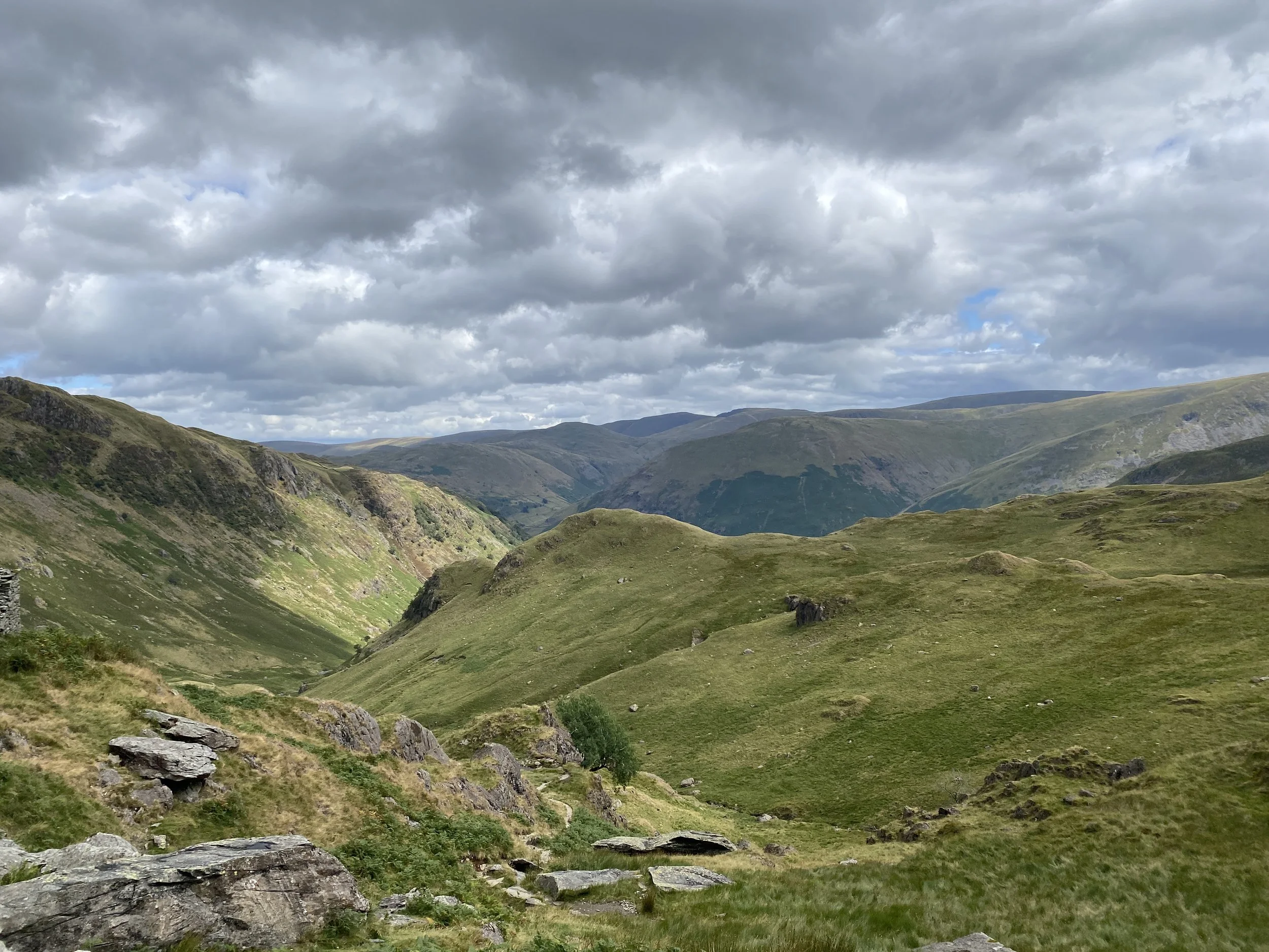
View from above Brotherswater
Twenty-two years later
That weekend was sadly the last of the Brotherswater camping weekends before kids and family responsibilities took over.
It would be more than two decades before Mr ODG and I returned for a camping weekend there. But, one baking hot August in the middle of a heatwave, we were back at the same campsite, just the two of us this time.
We’d often talked about the walk that never happened, so decided to go ahead and do the actual planned walk while there.
After a long, lingering breakfast, we set off up the Dovedale valley. I tried to recognise features from so long ago and couldn’t. This time, we were walking up a steep valley instead of along the ridge above.
Testing my navigation skills
Since the walk that never happened, I’d learned my lesson. No longer a passenger on walks, I’d been on navigation courses and always carried my own map so I could always keep an eye on where I was. Even with online mapping, I usually have a physical map and compass of my own.
Mr ODG sprung a test on me part way up that valley. He passed me the map and asked for our location grid reference.
I passed with flying colours and pinpointed us within one digit of the six-figure grid reference.
The pull up to Dove Crag was steep - and we’d arrived there in the heat of the day thanks to our leisurely breakfast. It was also our first trip to the high mountains for almost a year and, despite doing squats in the gym, my legs protested the steep steps.
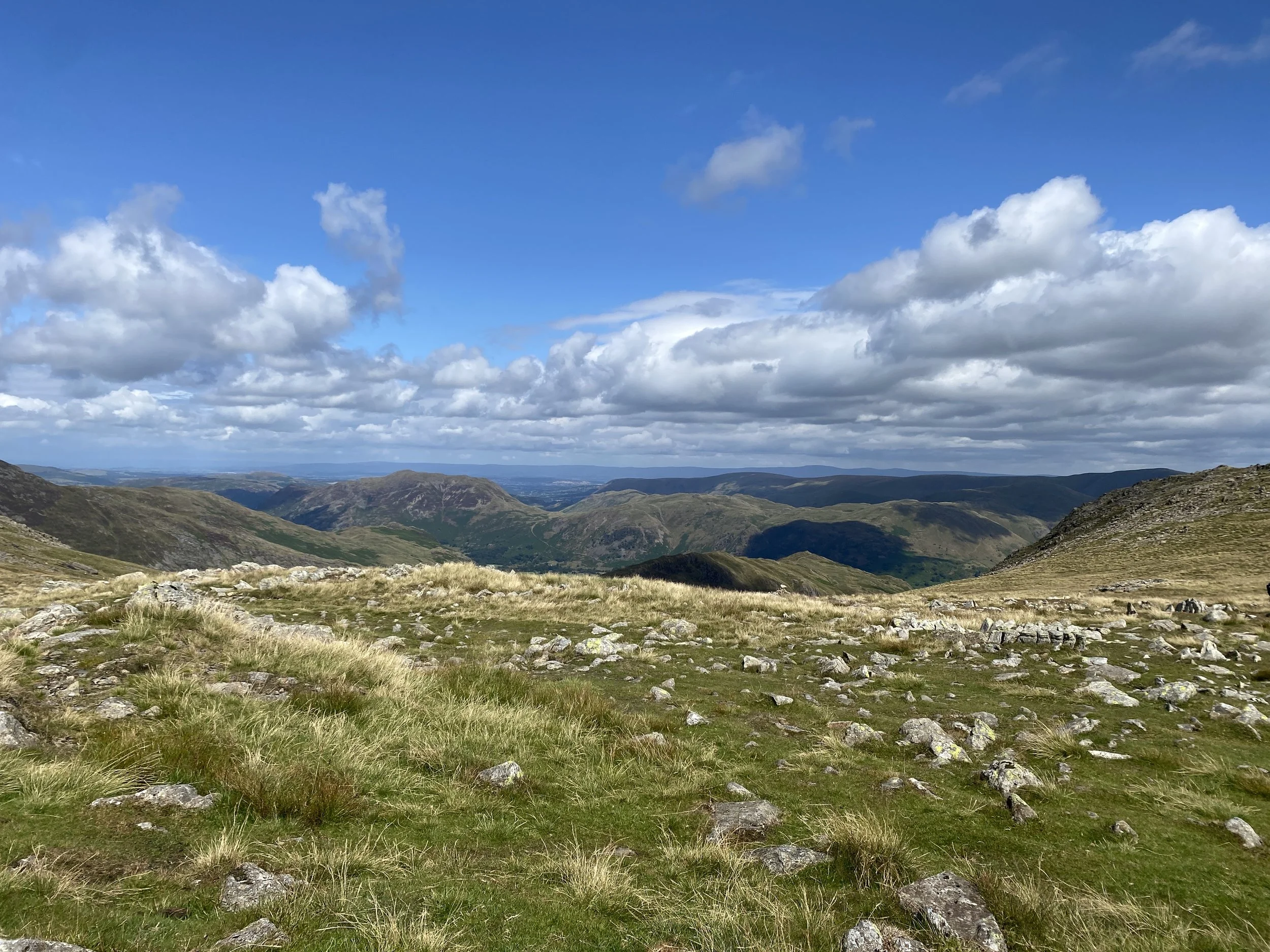
Butty break view
Views for miles
At the top of the steps, we hunkered down out of the wind for a butty.
And the view was incredible.
We could see for miles over mountain summit after mountain summit. We sure did miss out that day in the fog!
At a path junction, I realised how close we were to the point where we’d headed down the wrong valley. And then realised that the clear views meant I could now see into the head of the valley from our highpoint.
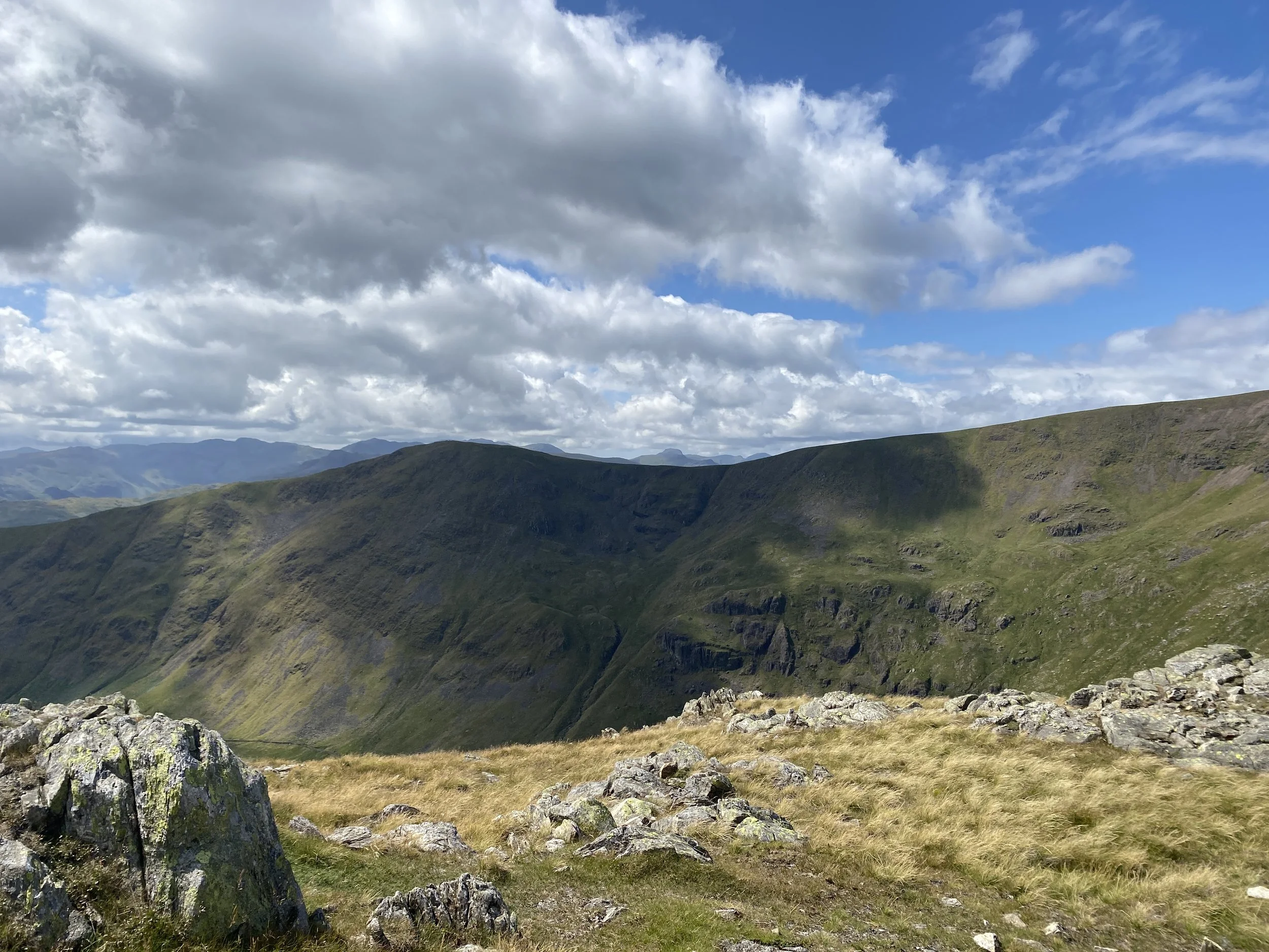
Looking into Rydal Head (where we’d walked down twenty-two years before)
Honestly, I have absolutely no idea how one of us hadn’t been injured that day. The slopes were incredibly steep, with no path at all. Mr ODG and I tried to work out where our route might have been but every angle looked as horrible as the next.
This time, we turned left away from the valley, to walk along to Dove Crag summit. From there, it was downhill all the way back, with a quick detour to tick off another Wainwright, Little Hart Crag.
I’d like to say I enjoyed a gentle wander back to the campsite. But the terrain was steep, the weather hot, and my legs cooked. It took us far longer than expected and despite passing some incredible looking swimming spots, I’d had enough.
Walking back into the campsite, I dumped my bag, stripped off my walking boots, and sat down with a sigh.
The Brotherswater circular walk had nearly broken me, after spitting me off twenty-two years ago.
But it was done.
And what a walk it was.
The views from the summits were a rare treat indeed.
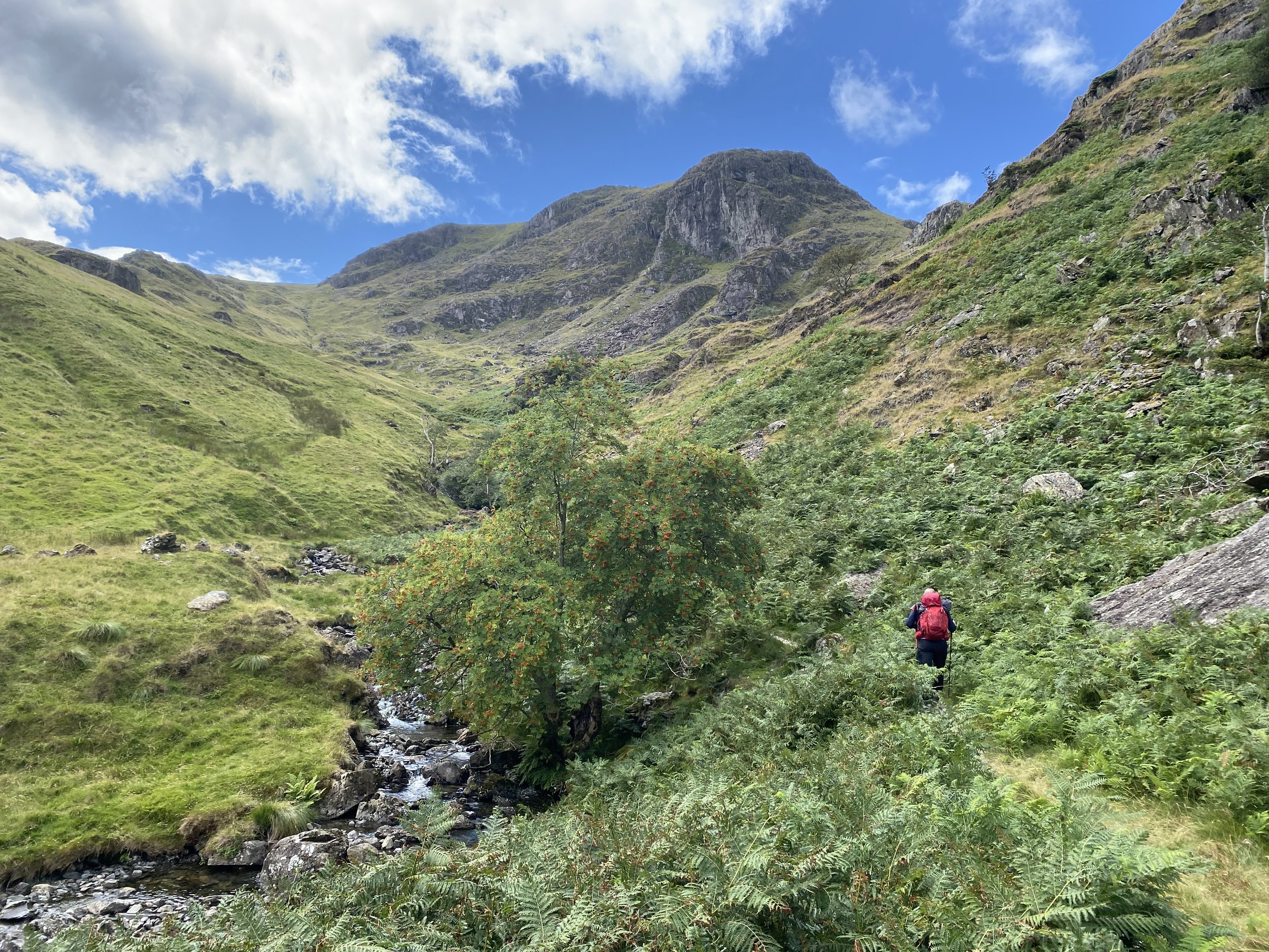
Walking up Dovedale Valley, Lake District
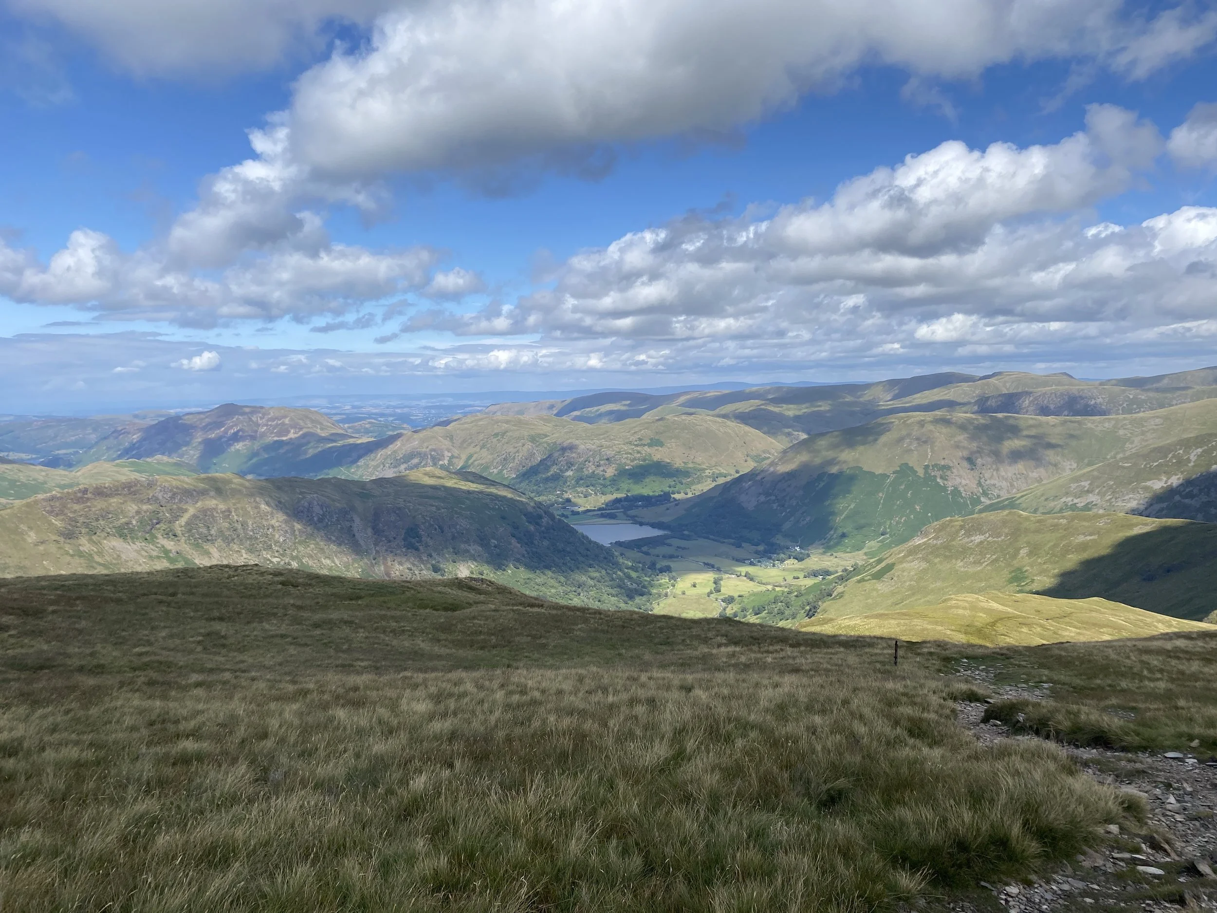
Summit views from Dove Crag, Lake District
You may also be interested in reading:
Walking in Alston and the Cumbrian North Pennines
Walking the Kentmere Horseshoe
Best multi-day walks in the UK
If you enjoyed this post, or found something helpful, you can say thanks with a one-off cuppa (or maybe an adventure snack) here →
It’s never expected, but a big thank you if you can 🫶
LOVE THE OUTDOORS?
Get inspiration for big trips and small adventures, straight to your inbox.
Outdoor Girl is run by Jacquie Budd, a UK-based outdoor writer and member of the Outdoor Writers and Photographers Guild. Alongside Outdoor Girl, she works with small businesses on websites, content, and search.
What do the links with an * mean?
Links with an * by them are affiliated which means if you get a product via this link, a contribution may be made to the Outdoor Girl website, helping it stay free to use.
You shouldn’t notice any difference in the product or cost. Importantly, the content I write is NEVER impacted by these links. For more details, please read my policy on affiliate links, including Amazon Affiliate links.
As I believe transparency is important, I’m sharing the un-affiliated links too, but note this version does not help the Outdoor Girl website.
Unaffiliated web addresses for the * links in this blog post:
N/A