10 favourite trig points in northern UK
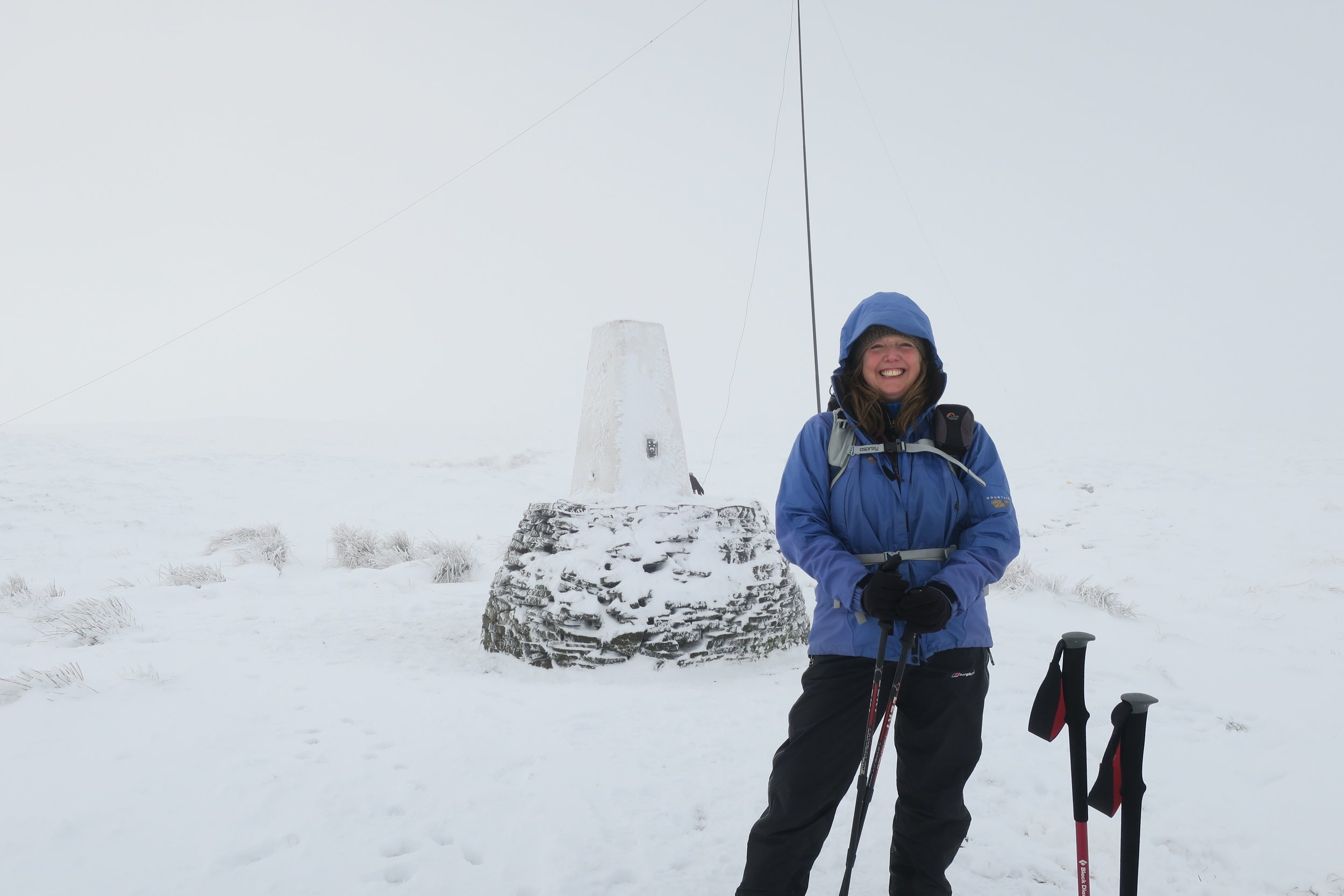
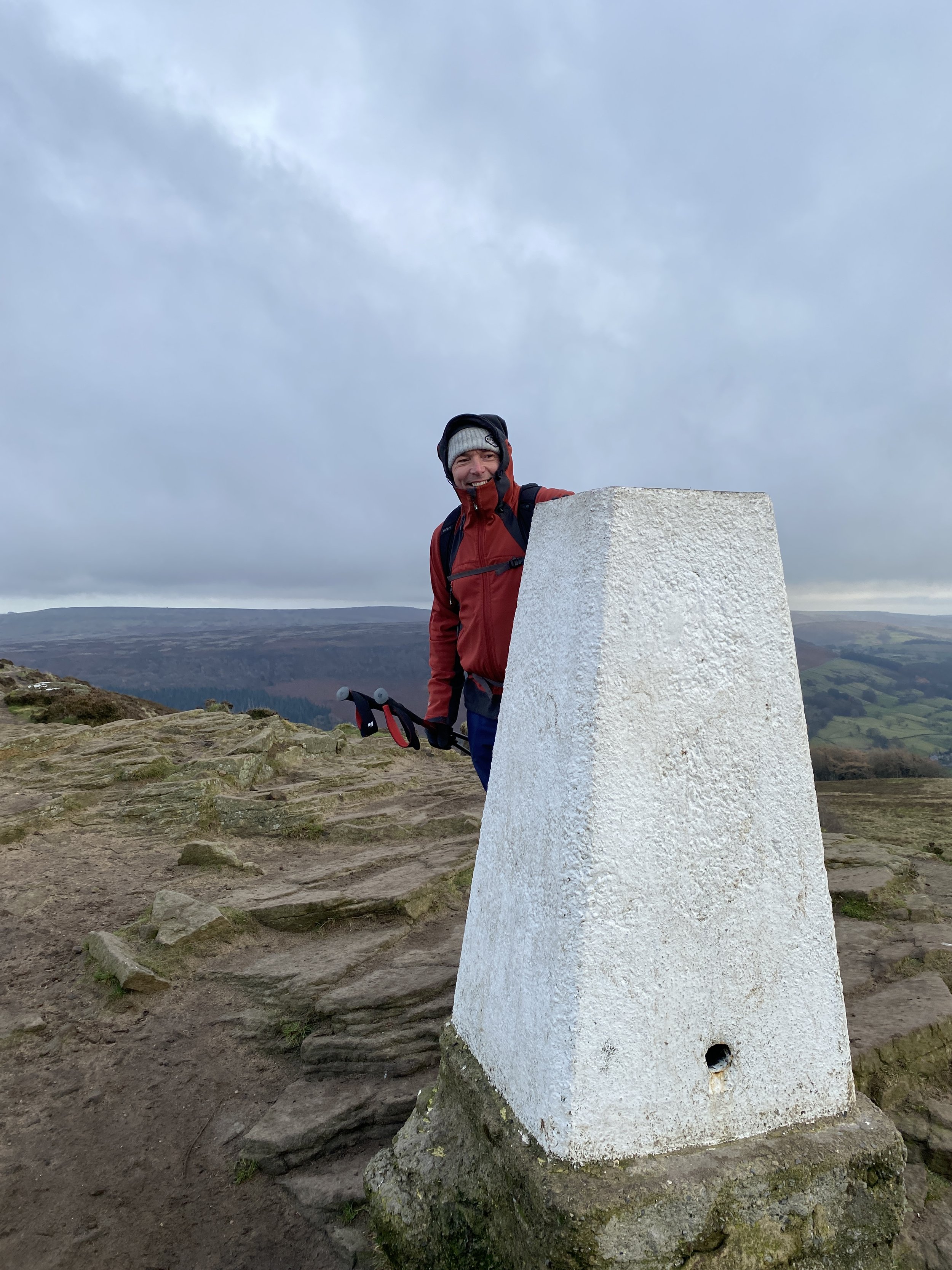
Winter conditions at the Black Hill trig pillar on the Pennine Way
There's something special about our humble trig points (technically pillars, but not many of us call them that). Trig points have a sentimental hold on our hearts. We love visiting them and we each have our own rituals when reaching them.
Things like a brief touch with a walking pole, slapping your hand on, walking around, standing on top, taking a selfie, using it as a back rest while enjoying a cuppa. The list is endless, and I wonder what your favourite is.
Trig points bring out my inner child. It doesn’t matter how many times I visit the same one, I always touch and walk around it. Almost with reverence to the block of concrete withstanding the elements and the test of time.
The first trig pillar was built on 18th April 1936 in a field in Cold Ashby, Northamptonshire. Which means, in April 2024, our beloved trig pillars turned the grand old age of 88 years.
What is a trig point (pillar)?
Triangulation (trig) points (pillars) are usually around 4ft high and were used by surveyors at the Ordnance Survey to re-map Britain. Often (but not always) painted white, they formed a solid base for the theodolites used by the survey teams, helping improve the accuracy of readings.
Triangulation is the mathematical process used to make accurate maps. It can also be used as an advanced navigation technique when out in the hills. This article from Ordnance Survey explains how to use triangulation for navigation.
Around 6,500 trig points were built and the Ordnance Survey teams spent 26 years gathering measurements right across the UK. But, with the advancement in technology, trig points are no longer needed to do this work - it’s now via a network of Global Navigation Satellite System receivers. The last trig pillar in active service was Thorny Gale in Cumbria, back in 1962.
Sadly, many trig pillars have been lost over the years - farming, erosion, new housing, etc have not been kind to them. Some are on private land too, making them inaccessible.
Even though Ordnance Survey no longer use trig pillars, they still have responsibility to maintain them. So get in touch with them if you see any unsafe ones in poor condition.
What is trig bagging?
Many people enjoy ticking off trig points - otherwise known as bagging. There are loads of variations to the theme, such as:
Ticking the Peak District Ethels (although not all of them have trig points)
Aiming to reach all the trig points in a specific county or region.
Bagging the trig points in your local map area.
Tackling the highest (Ben Nevis, Scotland) at 1,345m, and the lowest (Little Ouse near Ely in Cambridgeshire) at -0.533m below sea level.
You can see where trig points are located by looking at an Ordnance Survey (OS) map. They’re shown by a blue triangle with a dot in the middle.
If you’d rather search online instead, scroll down as I’ve added a couple of web links where you can find them listed.
Back in 2021, an Ordnance Survey blog post said there are around 5,500 trig points still standing. So there are a fair number of options for anyone wanting to bag a few!
10 of my favourite trig points
I started walking to mountain summits sometime around 1987, which means over 35 years visiting trig points around the UK. I’ve loved pretty much every one, and for so many different reasons.
⛰️ Difficult to access.
⛰️ Beautiful views.
⛰️ Nice place to sit.
⛰️ The top of an especially tough climb.
You name it!
So, picking just ten from the list of trig point’s I’ve touched is going to be a tough challenge. But, never one to back down, I’ll give it a go…
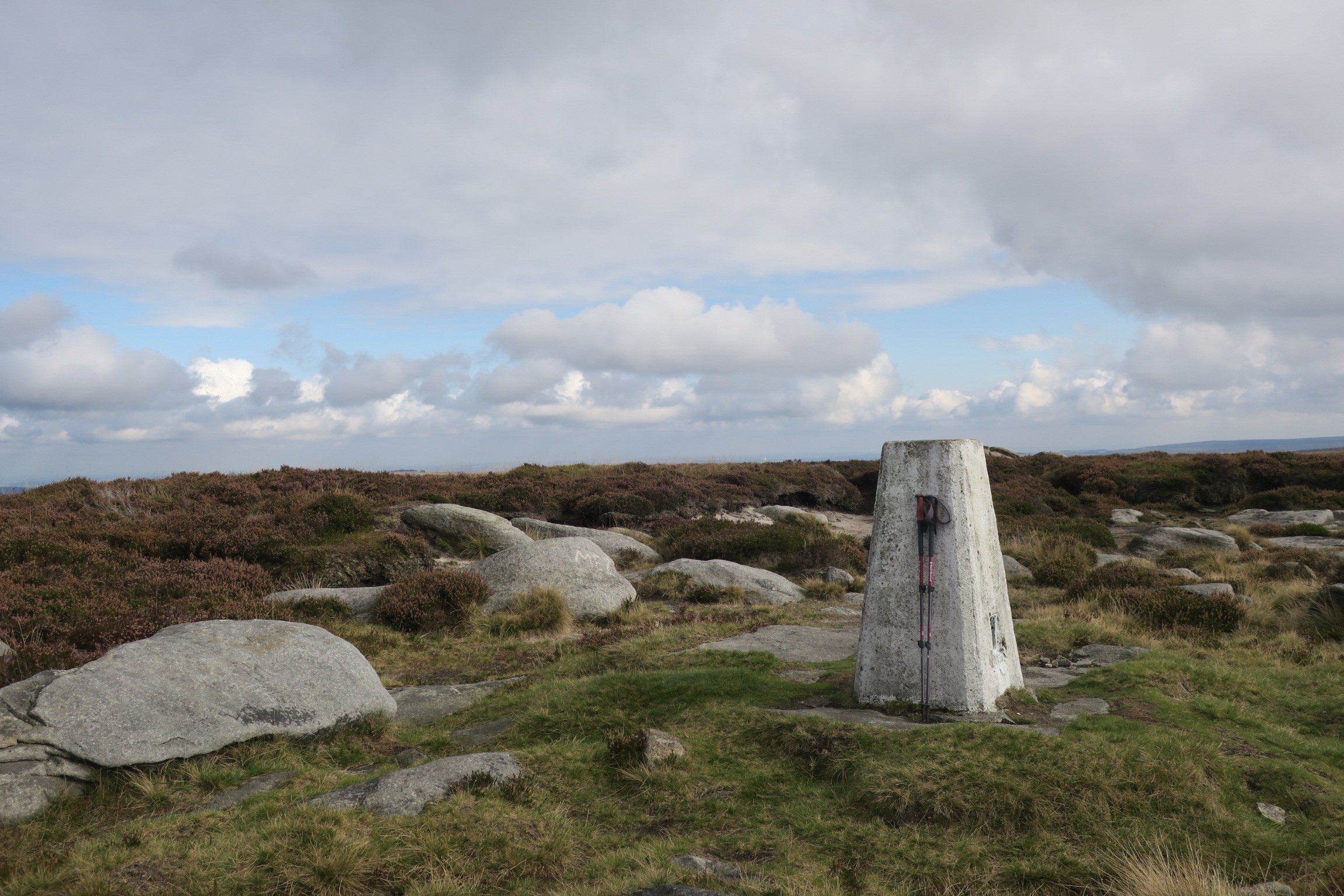
1. Black Hill, Peak District
It’s only around six years ago that I first touched the summit trig on Black Hill. It had a terrible reputation back in the 1990’s when I first considered going there as part of the Pennine Way national trail. I happily avoided it for all those years, finally visiting in 2018 after much regeneration work had taken place. And I fell in love!
Black Hill summit has a wild feeling and I’ve been back again and again, from different directions and in all weathers - freezing cold, warm and sunny, and at sunset too. It must be one of my all-time favourites and, writing this, I realise I’ve not been there on a sunrise visit yet 🤔
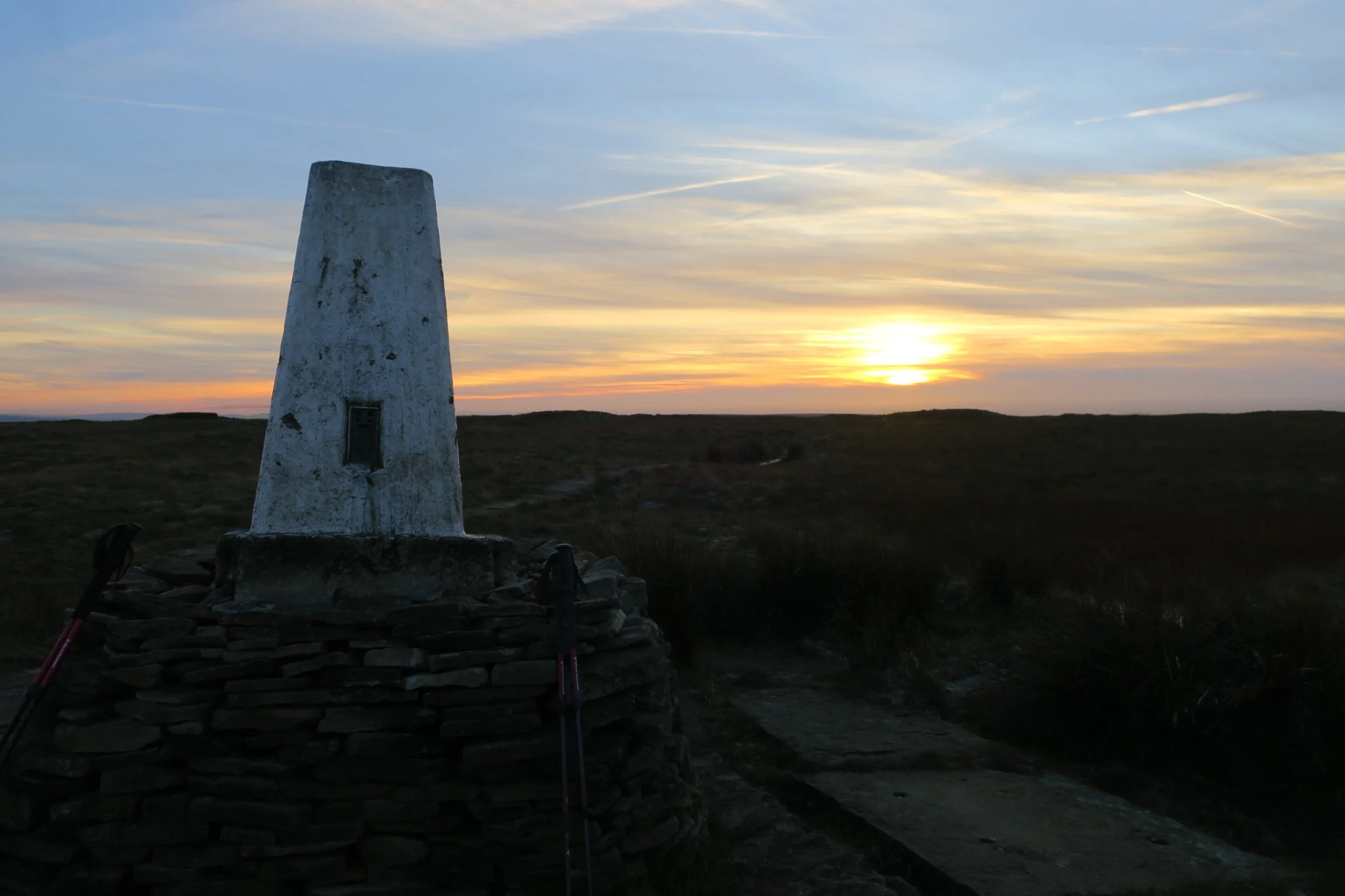
Black Hill summit trig at sunset
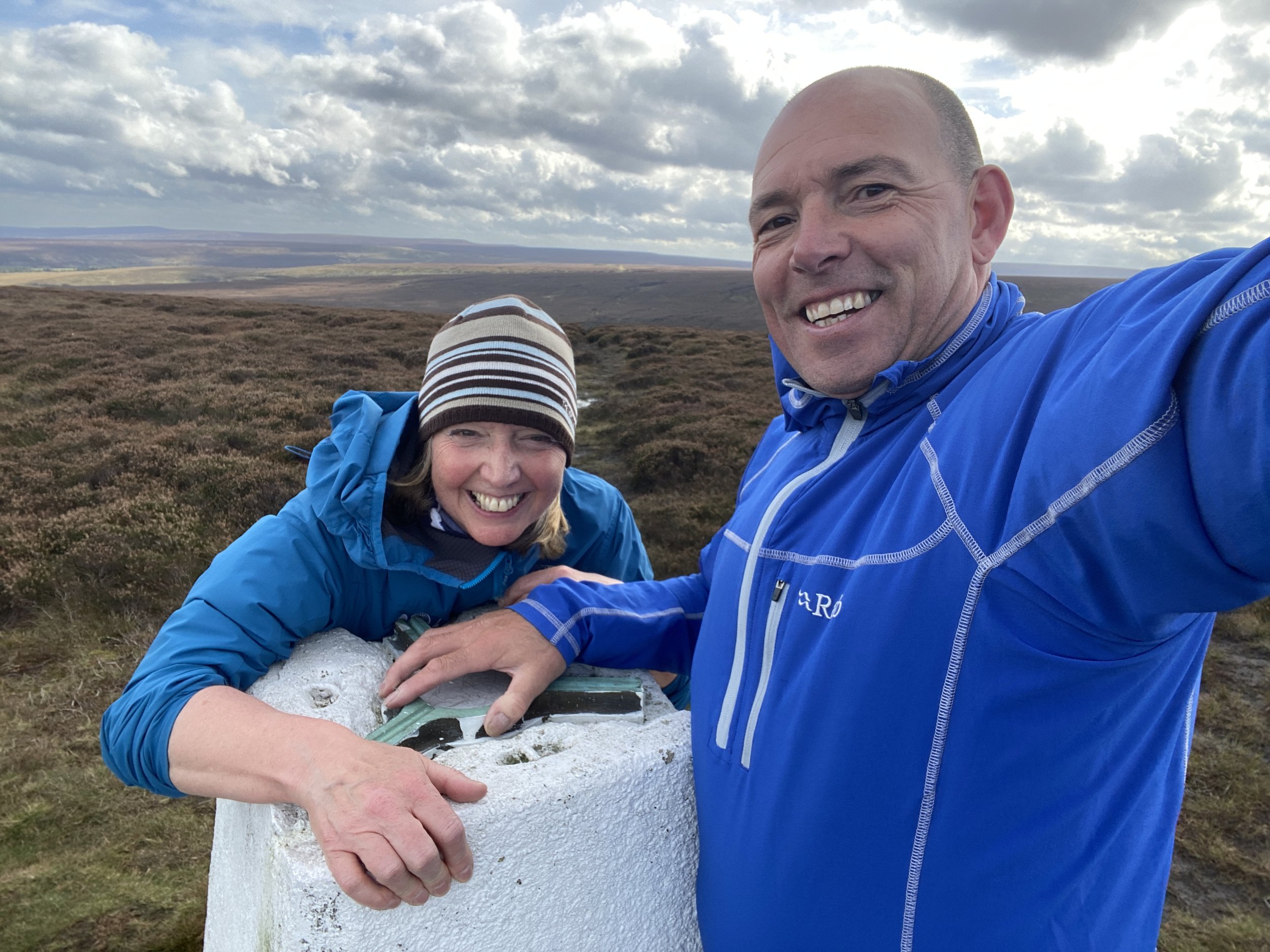
2. High Street, Lake District
Around 20 years ago, a big group of climbing friends would meet in late December at Brotherswater in the Lake District for a pre-Christmas camping weekend. We’d go walking in the mountains, getting back as dusk fell (around 3pm) before spending the rest of the evening in the pub drinking mulled wine and having our first Christmas dinner of the season.
I have many fond memories of those weekends. The high fells were often frigidly cold but the company was always great fun. High Street was one of the summits in the area, and the picture below shows a few of our rag tag bunch enjoying bagging the trig.
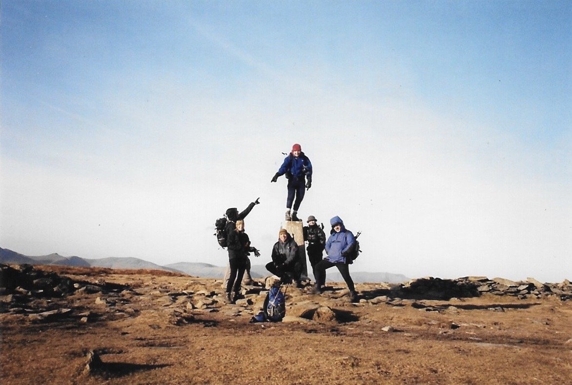
High Street, Lake District
3. Scafell Pike, Lake District
Standing at 978m, Scafell Pike is the highest mountain in England. The summit trig point is made up of stone, rather than the usual white painted concrete block.
Because it’s one of the big three mountains of the UK, I wanted to wait for a clear day before walking up there to get the views. It was well worth the wait, and will always have a special part of my heart - my husband proposed 💕
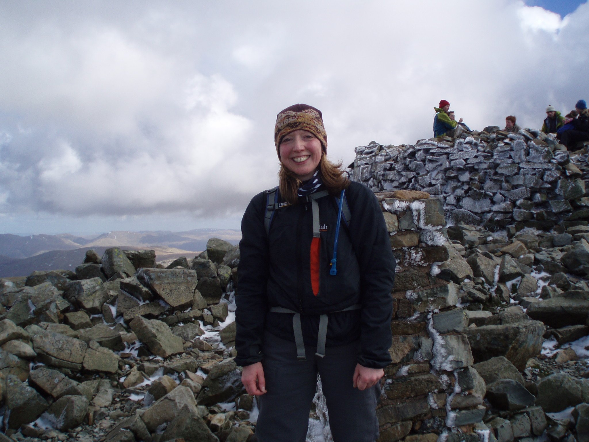
Scafell Pike summit
4 . Ben Nevis, Scotland
Let’s face it, standing at the highest point in the UK is a pretty special experience so it was always going to feature in this list! Ben Nevis was another of those summits that I didn’t just want to go and tick. If I was making the effort, I wanted to see the views.
So it took a few years after ticking off Scafell Pike (the highest in England) and Snowdon (the highest in Wales), before I went for the highest in Scotland. We tagged it onto the end of our West Highland Way walk, and had clear views with beautiful blue skies. Don’t get fooled by the warm weather in the valley though, in early June, there was still plenty of snow up high.
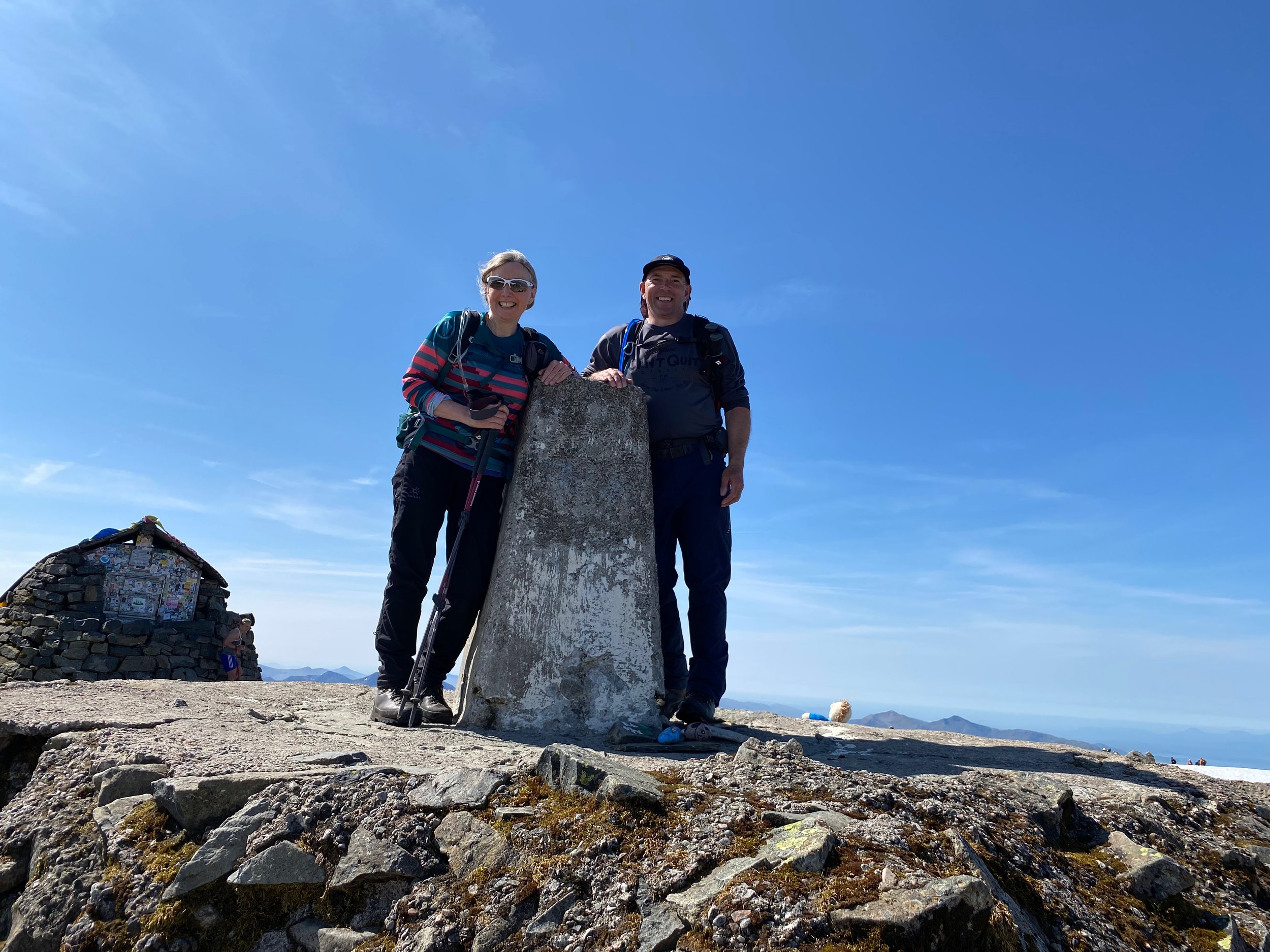
Standing on the summit of Ben Nevis
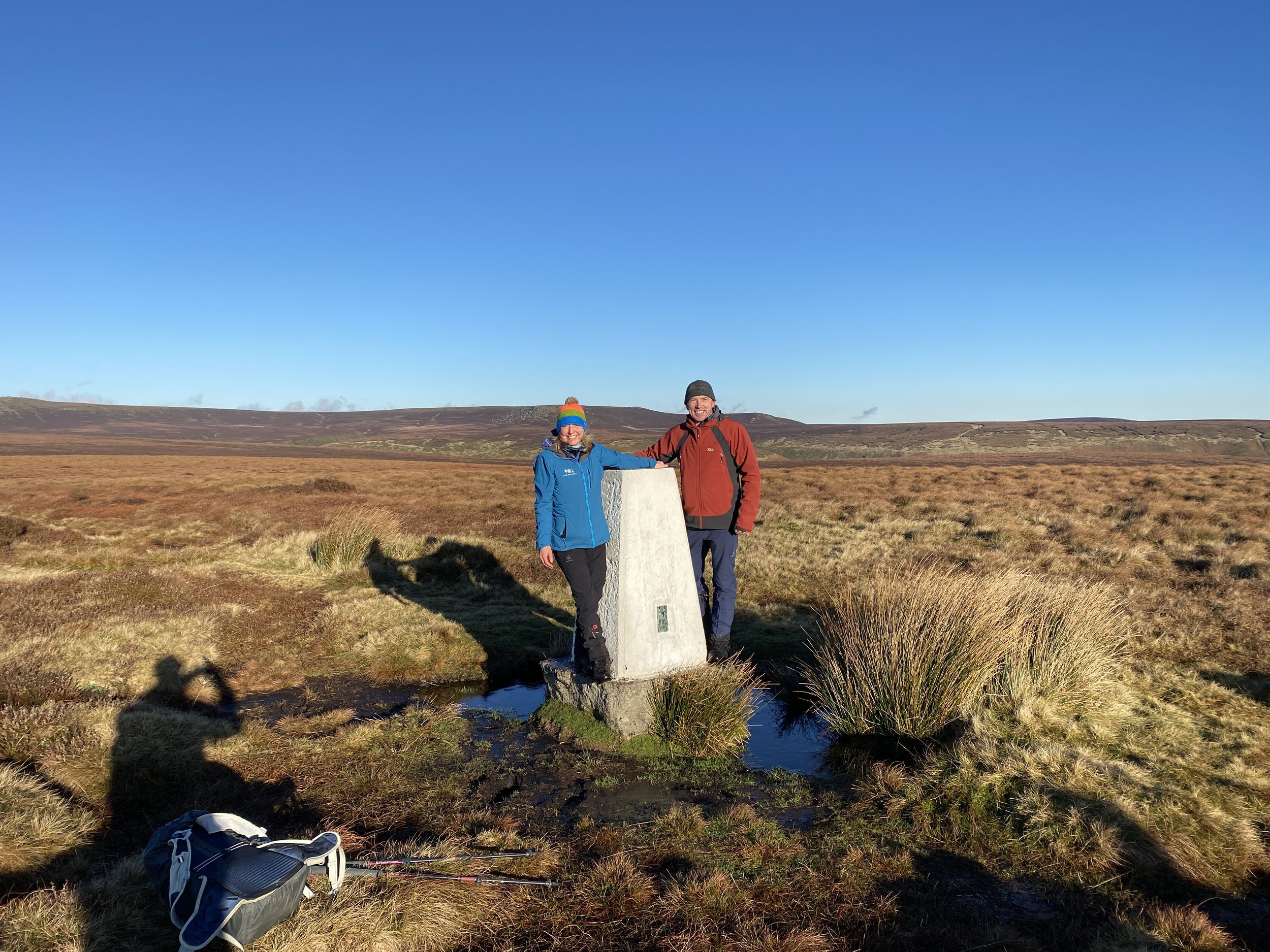
5. Snailsden Pike End, Yorkshire
Located on the moors above Snailsden reservoir near Holmfirth (West Yorkshire), this trig point feels equally remote and accessible! In other words, it’s not a long or arduous walk to get there (unless you want to extend it, which we often do), but it still feels like you’re in the middle of nowhere.
It’s a great place to switch off and have a few moments away from the hustle and bustle of daily life. The views across the moors to Woodhead and the Dark Peak beyond are incredible.
Hugging the summit trig at Snailsden Pike (it was windy)
6. Skiddaw, Lake District
Skiddaw is the sixth-highest mountain in England at 931m. It’s just north of Keswick, and can be accessed via bike as a bridleway goes to the summit. That said, it’s not to be underestimated. When the fog comes down, it can be disorientating - especially towards the barren summit when you need to follow cairns to stay on the path.
It was my first solo 900m+ mountain, and threw plenty of weather at me. Despite the glorious conditions in the valley earlier, I encountered poor visibility, rain, and strong winds, making it a very cold stop at the summit shelter. I nearly turned back because of the horrible conditions on the summit plateau but was glad I persevered. I’ll always remember the incredible feeling of achievement. Read more in Skiddaw summit walk.
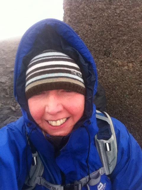
Selfie at the summit trig on Skiddaw
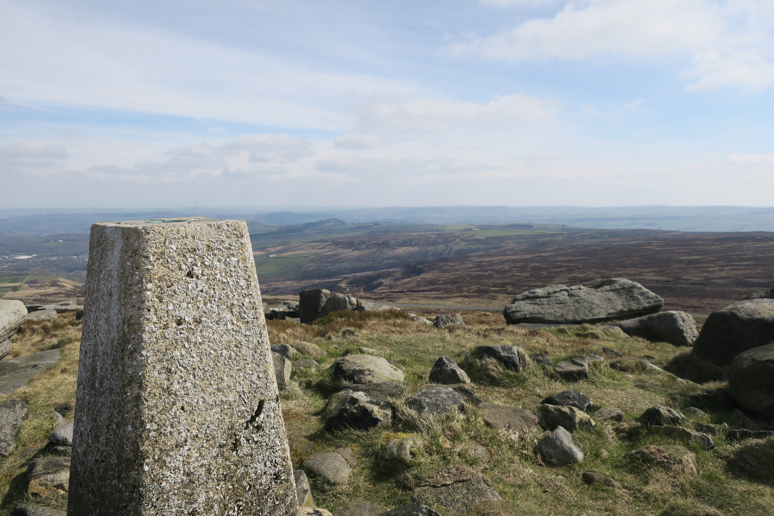
7. Westend Moor, Peak District
On a quest to tick a few Ethel’s, we decided to visit Alport Moor one glorious sunny day in January. The trig point pictured below is located a mile or so beyond Alport Castles, so we figured it was the right place. Back home, we realised Alport Moor was much further along (we went back and walked to the right location later in the year).
But, this was still a wonderful trig point. For one, look at the weather, it was stunning! We also left the crowds behind at Alport Castles, and had a peaceful brew stop in the middle of the moors. Remarkably, we bumped into a walker there that we’d met at a remote moorland trig point a few months earlier. We had a chat, swapped a few stories, traded trig pictures, and waved goodbye until next time!
Westend Moor trig point
8. West Nab, West Yorkshire
At 501m, West Nab is the highest point in West Yorkshire. It overlooks Meltham, and the Wessenden valley, and is coincidentally an Ethel summit too. It’s situated in a Site of Special Scientific Interest, meaning dogs are not allowed.
The views from the trig point are incredible. Equally, it can be a bleak place in poor weather. I’ve been lucky to see the views, my husband not so lucky despite two attempts - we have a standing joke that it’s only good weather there until he tries to visit! If you fancy visiting West Nab, take a look at my Wessenden and West Nab walk.
West Nab summit trig and views
9. Margery Hill, Peak District
Margery Hill at 546m is classed as the highest marked point within the boundaries of the City of Sheffield (the highest actual point is High Stones, at 548m and a mile south). It’s believed to have been a bronze age burial mound and the area around has been designated a scheduled ancient monument by English Heritage.
Despite it’s city boundary designation, Margery Hill is a remote moorland location between Langsett and Howden reservoirs. The Cut Gate path, famous amongst mountain bikers, is close by. I love it there, and the views are breathtaking looking south towards the Peak District.
Margery Hill trig point
10. Win Hill, Peak District
Win Hill, 462m, is one of the iconic places to visit in the Dark Peak. The summit views from there are wonderful. On one side, you have Ladybower and the Derwent Valley. On the other is the Hope Valley. Plus you can see out towards Snake Pass and Bleaklow. It’s popular for a reason - expect crowds, or visit early morning/late evening.
Many people park at Yorkshire Bridge, near Ladybower, and walk up the steep wooded path to the summit. I prefer to do a longer circular walk from Hope, which has a steep pull past Twitchill Farm but then the descent back via Aston means you’re looking out across the Hope valley and beyond.
Win Hill summit
In summary
I know this list only includes trig points in the Peak District, Lake District, West Yorkshire, and Scotland. It’s because these are the places I tend to spend the most time, plus I love them! Plus, I wanted to include a picture for each trig mentioned. If I didn’t take a picture while there, I didn’t include it in the list.
Way back in 1999, I walked to the top of Snowdon (1,085m), the highest mountain in Wales. It was an amazing day with superb views but, even back then, it was busy on the summit. More recent pictures show horrific looking queues for the summit trig. So, if you go, expect crowds or set your alarm to hit the trail early.
I mentioned at the beginning of this post that it would be nigh on impossible for me to pick just ten trig points. It was!
You didn’t get see the trig point where we battled the wild weather in the Northumberland hills. Nor the highest point on Benbecula in the Outer Hebrides, Ruabhal at a grand height of 124m. And then there were all the other local trig points, along with Peak District and Lake District summits.
How on earth do you even begin to choose?
I guess you don’t have to. Just grab a map and start making a list of your own favourites instead.
Feel free to share them in the comments below for others to see.
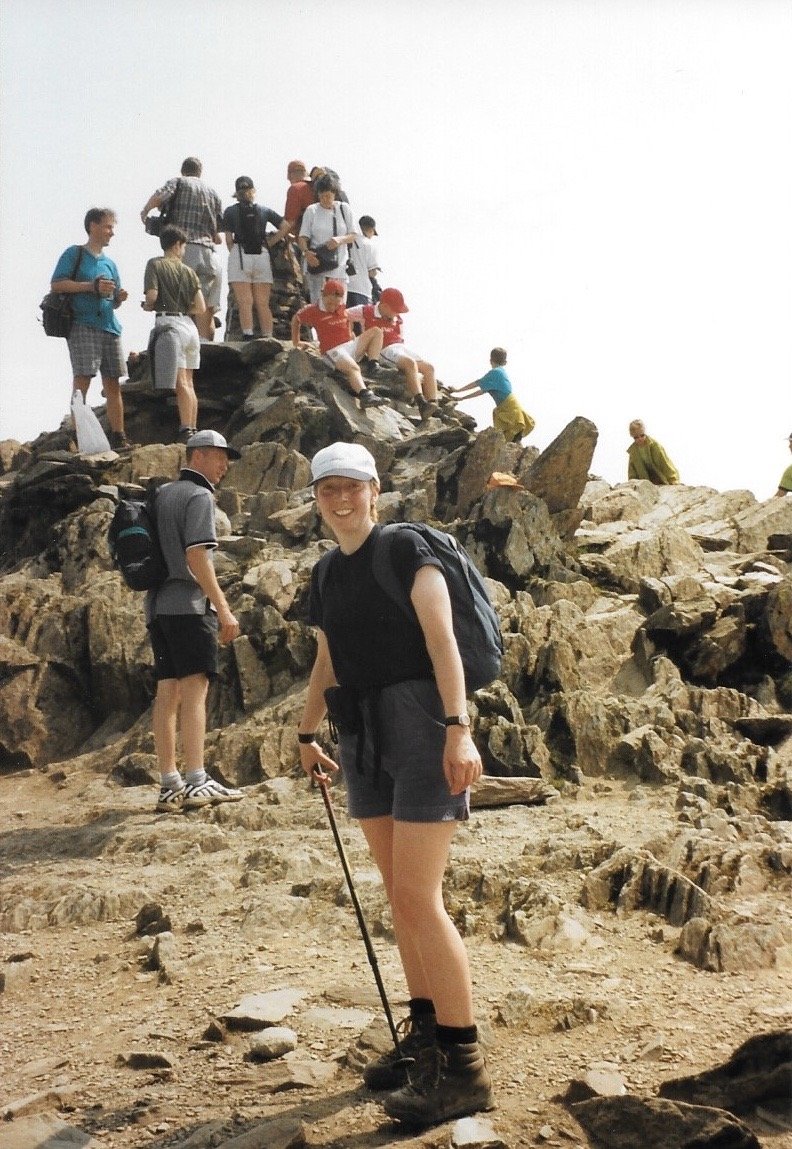
Snowdon summit in 1999
Websites listing trig points
TrigpointingUK is a logging system for trig points, and can be used to search.
Ordnance Survey has a page where you can search by trig number, co-ordinates, map number, or flush bracket number.
ENJOYED THIS POST? HERE’S HOW YOU CAN SUPPORT MORE CONTENT…
I’m an outdoor enthusiast, just like you, looking to read about fun and inspiring adventures. I write from my personal experience and ideally want to keep this website ad-free (who likes annoying pop-up ads getting in the way). But web hosting and creating new content costs money, and means a fair bit of unpaid work.
If you’ve been inspired, grabbed a GPX download, or found something helpful, you can support by buying me a cuppa via my Ko-Fi account. Thank you if you can 🫶
Get new adventures sent directly to your inbox. Emails usually go out every other week.
SIGN UP TO MY NEWSLETTER
Outdoor-Girl is run by Jacquie Budd, an outdoor adventure and marketing content writer for brands that care about their impact on people and the planet.